This website is part of The New York Public Library's Online Exhibition Archive. For current classes, programs, and exhibitions, please visit
nypl.org
.
Introduction
From The Netherlands to Nieuw Nederland
Exploration and Colonialism
The Great Port
Rutgers Farm, A Model for City History
The Greater Harbor
The Hudson River
Environmental Issues and the Future of the Harbor
Timeline (PDF)
Visit the Library Exhibition (through June 25,2010)
Suggested Reading
Mapping NY's Shoreline @ The Library Shop
Acknowledgments
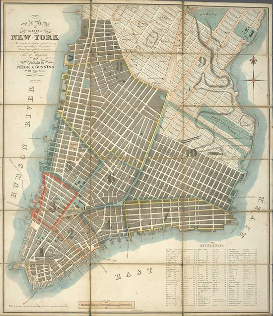
Thomas H. Poppleton.
Plan of the City of New-York
. New York, 1817. NYPL, The Lionel Pincus and Princess Firyal Map Division, Rose Fund.
Privacy Policy
|
Rules and Regulations
|
Using the Internet
|
Website Terms and Conditions
| © The New York Public Library