|
MAPS
& PANORAMAS
|
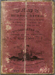 |
A
New Map of the Hudson River. 1829.
Published by W. Cammeyer, Jr. in Albany, the map shows the height
of natural features and indicates relief by hachures. There are
notes inside the front cover and a distance table inside the back
cover.
View
Catalog Record |
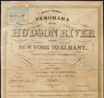 |
Wade & Croome's Panorama
of the Hudson River from New York To Albany. 1846.
Published by J. Disturnell from drawings by engraver
William Wade, this small folding panoramic map sketches the sights
along the shores of the Hudson from Albany to New York City.
View
Catalog Record
|
 |
The
Hudson by Daylight Map. 1878.
Published by William F. Link for the New York and Albany Dayline,
the map shows "the prominent residences, historic landmarks,
old reaches of the Hudson, Indian names, &c."
View
Catalog Record |
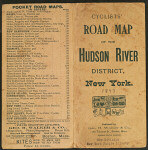 |
Cyclist's
road map of the Hudson River
Published by George H. Walker & Co., Boston, the map reflects
the growing interest in bicycling for recreation in the 1890s. |
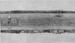 |
Panorama of the Hudson showing
both sides of the river from New York to Albany as seen
on the deck of the Hudson River Day Line Steamers. First photo-panorama
of any river even published. One hundred fifty miles of continuous
scenery accurately represented from eight hundred consecutive
photographs. Wallace Bruce, comp. 1910.
View
Catalog Record
|